

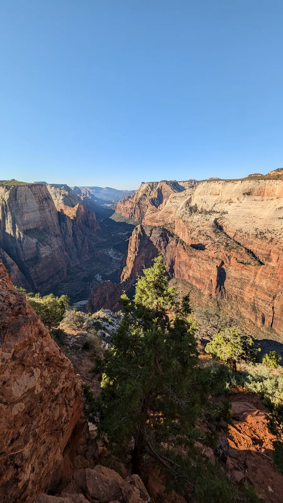
📍 Overview
- Trailhead: East Mesa Trailhead, Zion National Park
- Round-trip Distance: 6.8 miles (10.9 km)
- Elevation Gain: About 620 feet (189 m)
- Trailhead Elevation: 6,516 feet (1,986 m)
- Difficulty: Easy hike, hard access
- Best Season: Late spring through fall
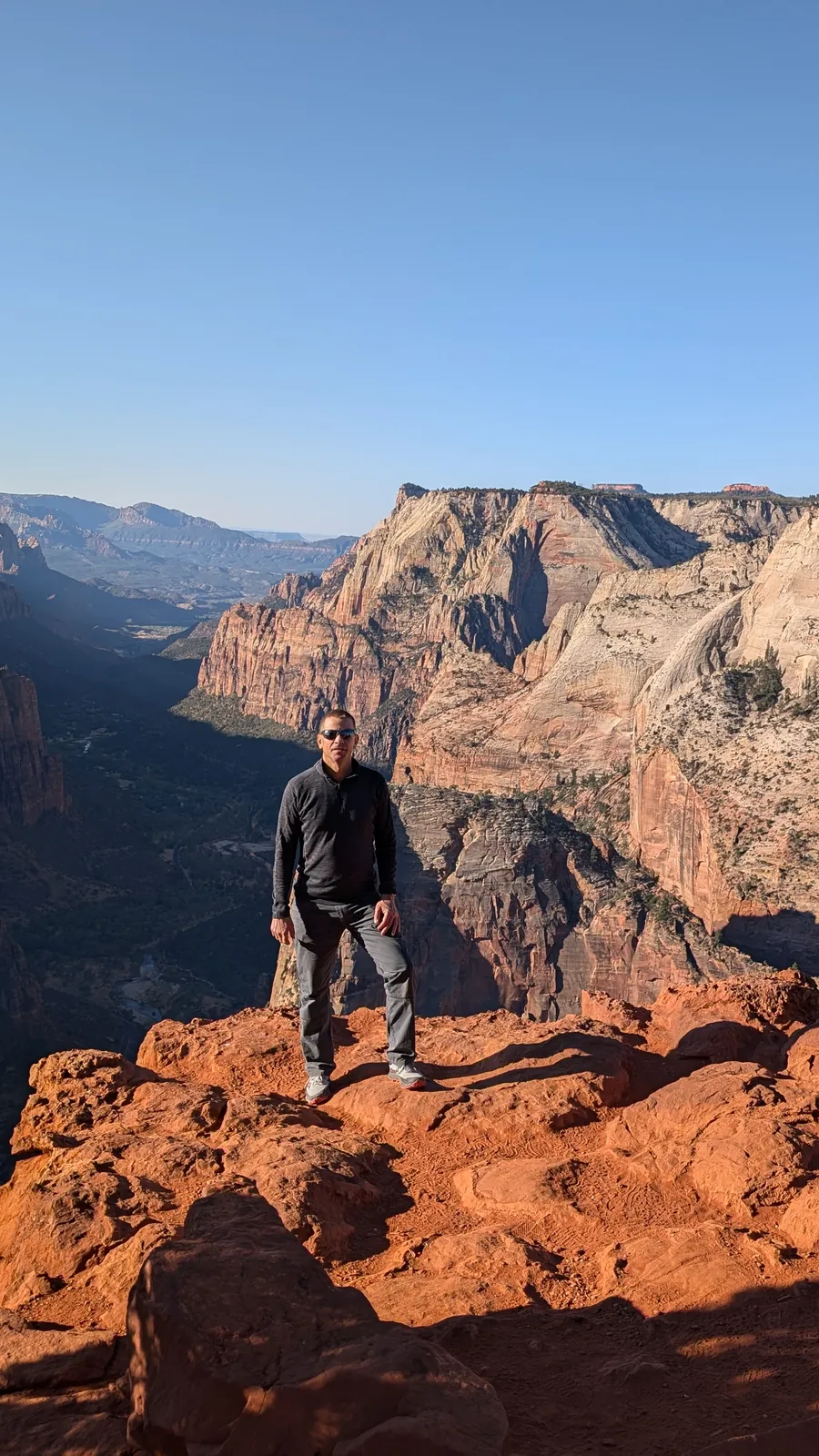
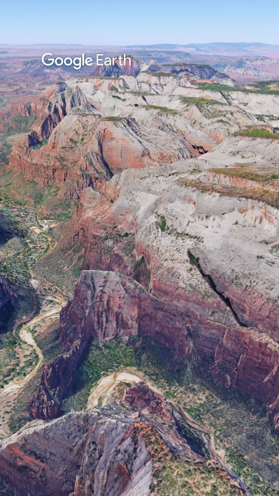
Observation Point looks down on Angels Landing. No permit required. Just a truck that can handle a dirt road.
🚗 Getting There
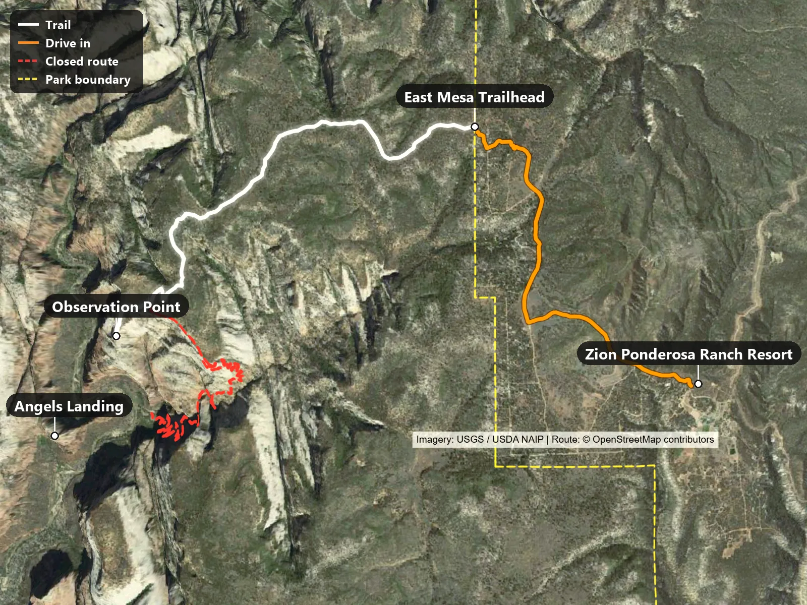
The real catch is the drive in. Dirt roads through private ranch land, high clearance recommended, and limited parking. Show up late and you’re paying for a shuttle. The drive in on our map runs 2.7 miles from Zion Ponderosa Ranch Resort to East Mesa Trailhead, on Pine Valley ATV Trail, Twin Knolls Road, Beaver Road and Rocky Road (road names from OpenStreetMap).
Trailhead coordinates: 37.29635, -112.90139 (directions)
Things to know before you go:
- Road: 4WD recommended, especially after storms.
- Parking: Park only in marked spots. Parking outside them can bring a fine.
- Observation Point shuttle: Run by East Zion Adventures, Zion Ponderosa’s sister company. Book a departure time online in advance. Return pickups are at :15 and :45 past each hour, and the shuttle drops you within about half a mile of the trailhead. Parking at the resort is free for shuttle riders. Price: check the booking page.
🥾 The Trail
It starts as an old jeep road through ponderosa pine, flat enough you forget you’re hiking. Past two miles, the trail drops onto a sandy mesa, then rolls out to the edge. About seven miles round trip, about six hundred feet of gain, way easier than the canyon-floor route that’s been closed since 2019.
The trail starts at 6,516 ft, tops out at 6,801 ft and ends at 6,511 ft at Observation Point, which stands about 704 ft above Angels Landing. The climbing is split about evenly: roughly 299 ft on the way out and 321 ft on the way back (USGS 3DEP elevations along the OpenStreetMap route).
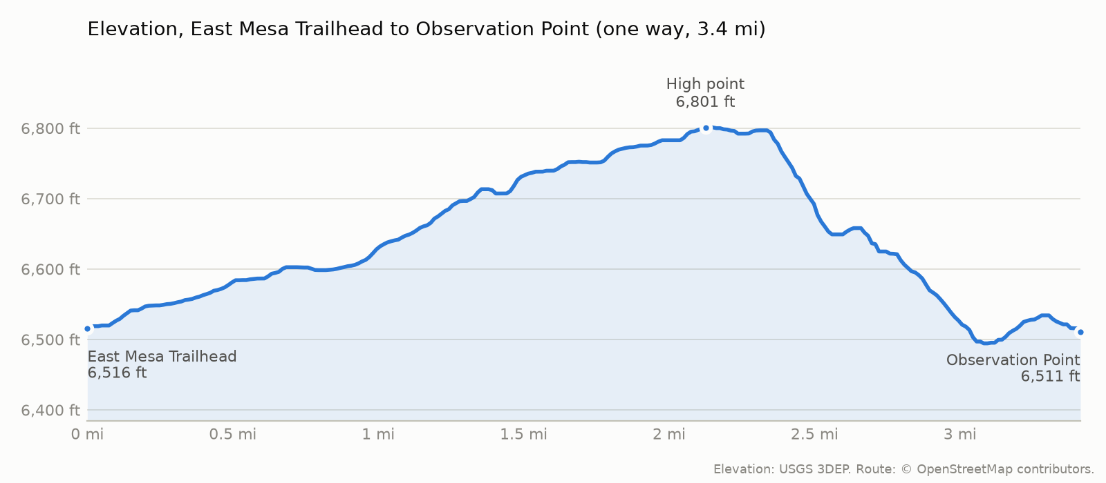
The red dashed line on the map is the closed Weeping Rock route. For its current status, check the NPS Zion current conditions page.
🌤 When to Go
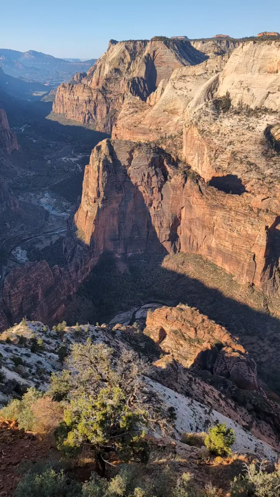
Best season: Late spring through fall. We hiked it in October 2024. For snow, mud and road conditions, check the NPS Zion current conditions page before you go.
💡 The Lowdown
Almost nobody mentions that lot belongs to a ranch resort, not the park. Check the road before you check the weather. That’s where this trip gets decided.
📜 Credits
- Map imagery: USGS The National Map, NAIP imagery (USDA Farm Service Agency)
- Route and places: OpenStreetMap contributors
- Terrain: AWS Terrain Tiles (USGS 3DEP and others)
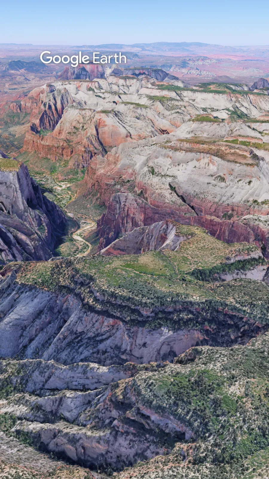
- Flyover imagery: Google Earth (Landsat / Copernicus, Airbus, Data SIO, NOAA, U.S. Navy, NGA, GEBCO)
- Elevation: USGS 3DEP
- Photos and video: Ride Hike Roam
- GPX download: route data © OpenStreetMap contributors, available under the Open Database License (ODbL)
Check out more hiking posts here and don’t forget to follow Ride Hike Roam on Instagram and Facebook for real nature photography, no filters, no fluff. Hiked it? Tell us how the road was in the comments.