RIDE HIKE ROAM
HIKING · BIKING · TRAVEL, PLANNED ON PURPOSE
A blog for the more than average traveler, hiker, and mountain biker.

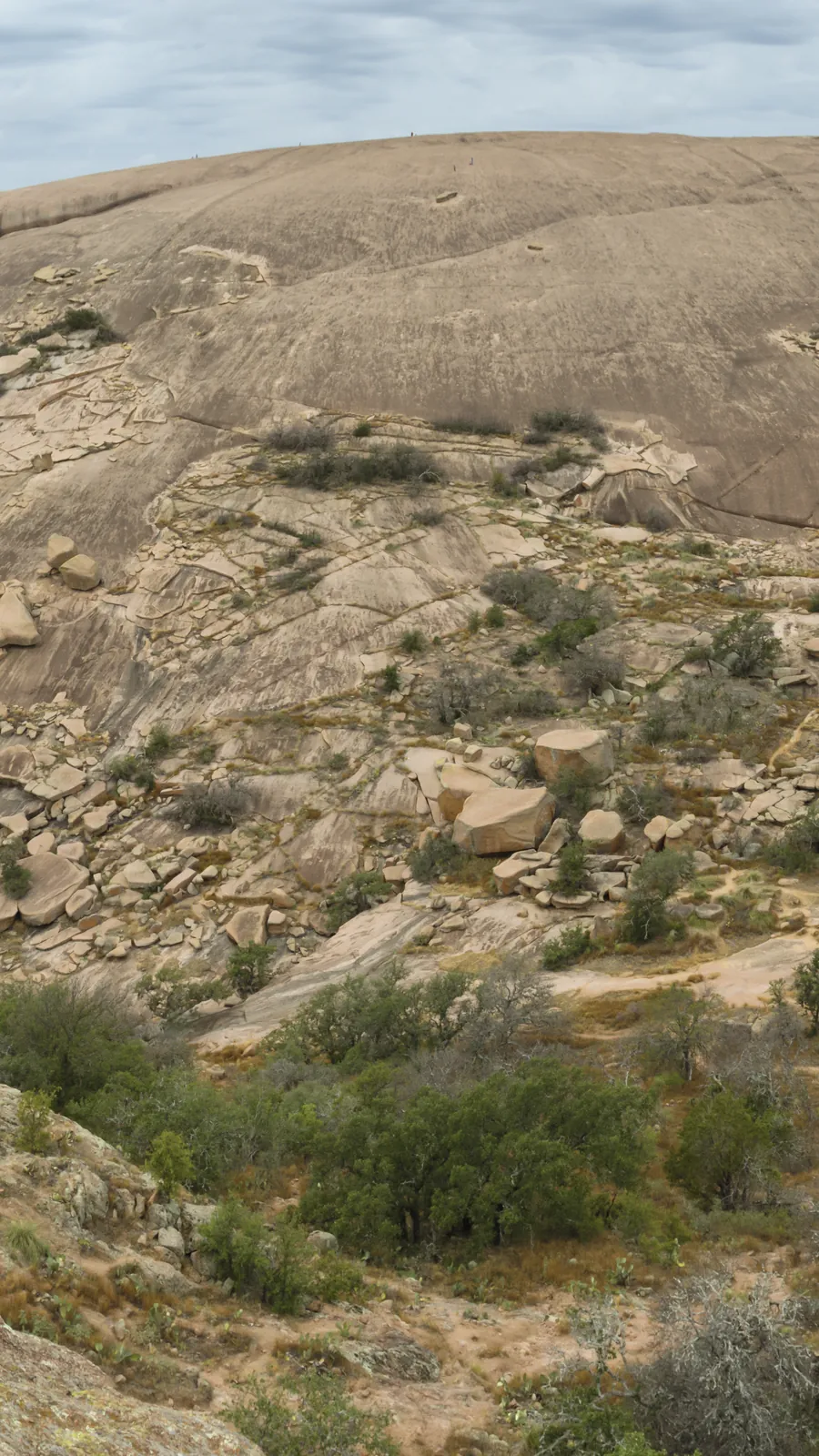
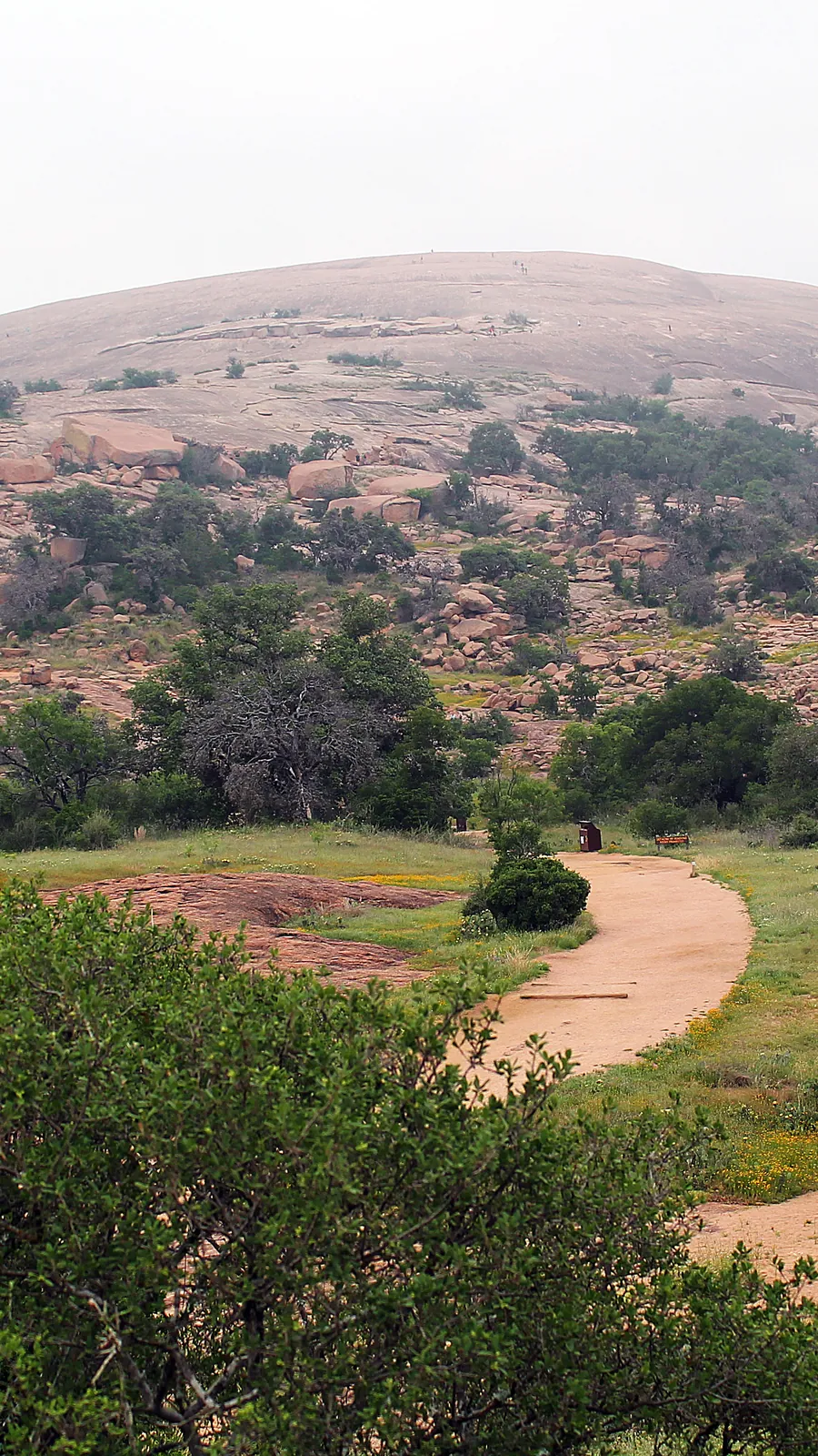
The Summit Trail climbs the pink granite dome that gives Enchanted Rock State Natural Area its name. TPWD lists it at 0.8 mile to the top and 425 feet of climb, and its guided hikes call it about 1.5 miles round trip. The walk is short. What takes planning is getting through the gate on the day you want, and then finding the summit trail open when you arrive.
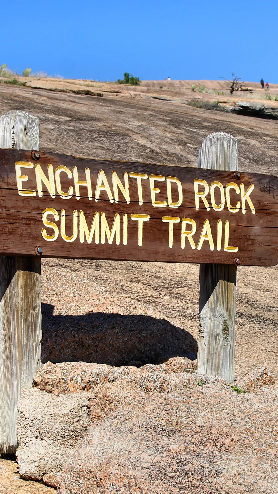
Enchanted Rock. The Summit Trail. The climb is under a mile. Getting through the gate is the hard part.
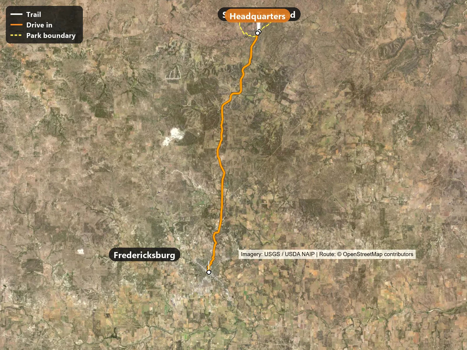
The trail leaves the gazebo by the main parking area. The drive in shown on the map runs 17.4 miles from Fredericksburg to Summit Trailhead, on North Adams Street, West Austin Street, North Crockett Street, West Travis Street, North Orange Street, West Morse Street, North Elm Street, West Nimitz Street, North Milam Street and Ranch to Market Road 965 (road names from OpenStreetMap).
Trailhead coordinates: 30.49733, -98.81833 (directions)
Things to know before you go:
The easiest way to skip the gate problem is to sleep inside it. The park has 35 walk-in tent sites with water nearby, according to TPWD. Camping is tent only, with no RVs or car camping, and reservations are required. They sell out, so book early.
If you can’t get a site, stay in Fredericksburg, about 18 miles south. Book your day pass the same night if you haven’t already. Passes open up to 30 days ahead, and you choose an entry window. The listing shows a morning window of 8:30 to 10:30 a.m. The pass is only good during the window you pick. If you’re going to be more than an hour late, call the park at 830-685-3636.
Check the forecast and the TPWD Enchanted Rock trails update page before bed. TPWD warns that you may not be able to connect at the park, so download your map in town.
Fill up and buy water in Fredericksburg. The H-E-B at 401 S Adams St has a grocery store and a fuel station. The reservation listing puts the nearest store or gas station about 18 miles from the park, and concessions at the park are limited.
Bring all your drinking water. TPWD says water at the park is in short supply because of drought, and asks visitors to bring their own or buy bottled water at headquarters. Its guided hikes recommend 32 ounces per person per hour.
The gate opens at 6:30 a.m., according to the reservation listing. Check in at the headquarters drive-thru window, which is staffed 8:30 a.m. to 4:30 p.m. Outside those hours, use the self-pay station at the front door and write your reservation number on the envelope. Once you’re in, you can stay for the rest of the day.
Park in the main day-use area and walk to the gazebo at the Summit Trailhead. That is where TPWD starts its guided summit hikes. There is no separate permit for the Summit Trail beyond park admission.
Dogs are not allowed on the Summit Trail or any of the domes, according to TPWD. They’re allowed in picnic areas, campgrounds and on the Loop Trail. Trails open half an hour before sunrise and close half an hour after sunset, except the Loop Trail.
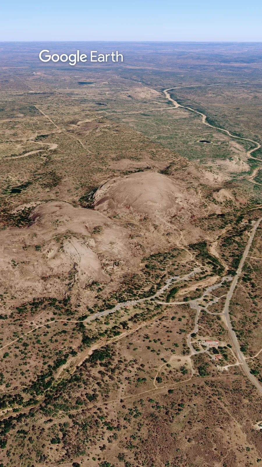
From Fredericksburg, Ranch Road 965 runs about seventeen miles north. It dips through a creek, then climbs bare pink granite. The top is a wide dome with views in every direction.
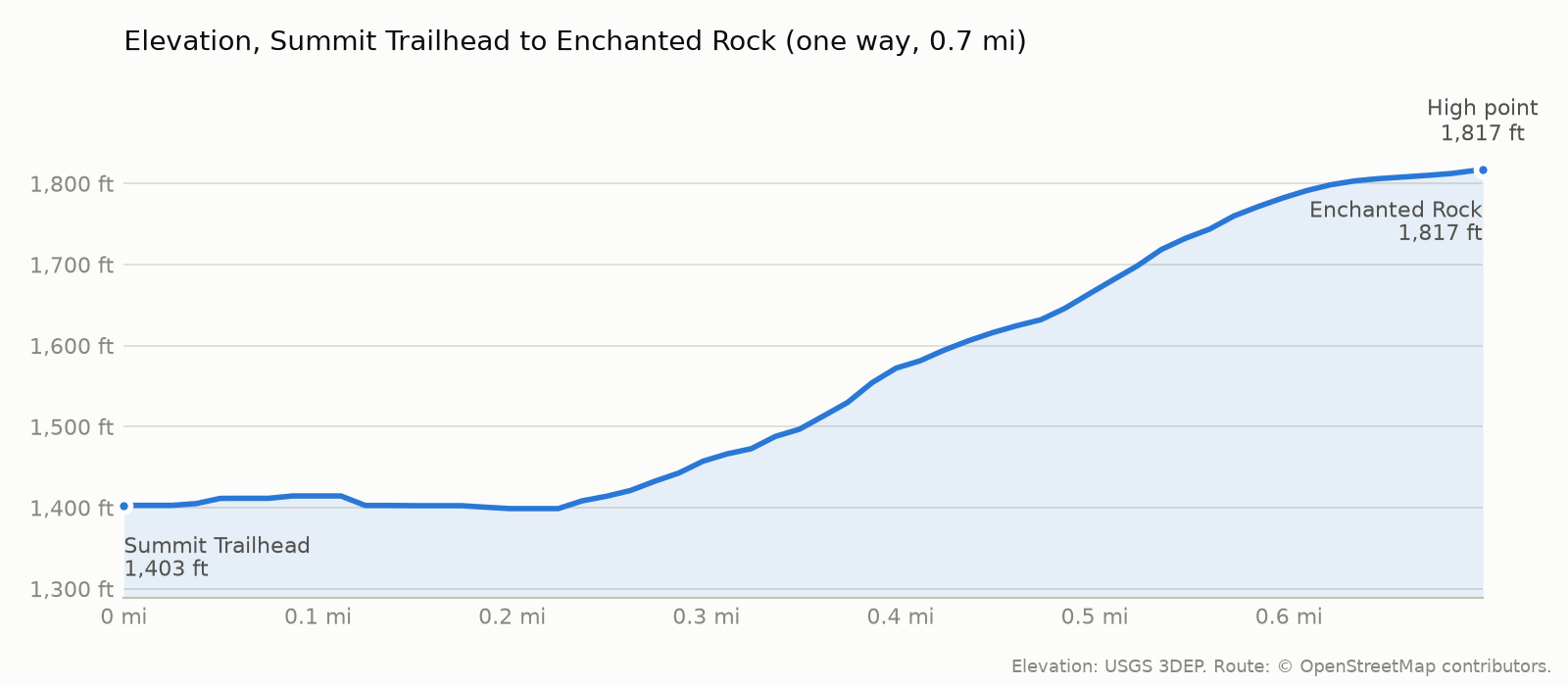
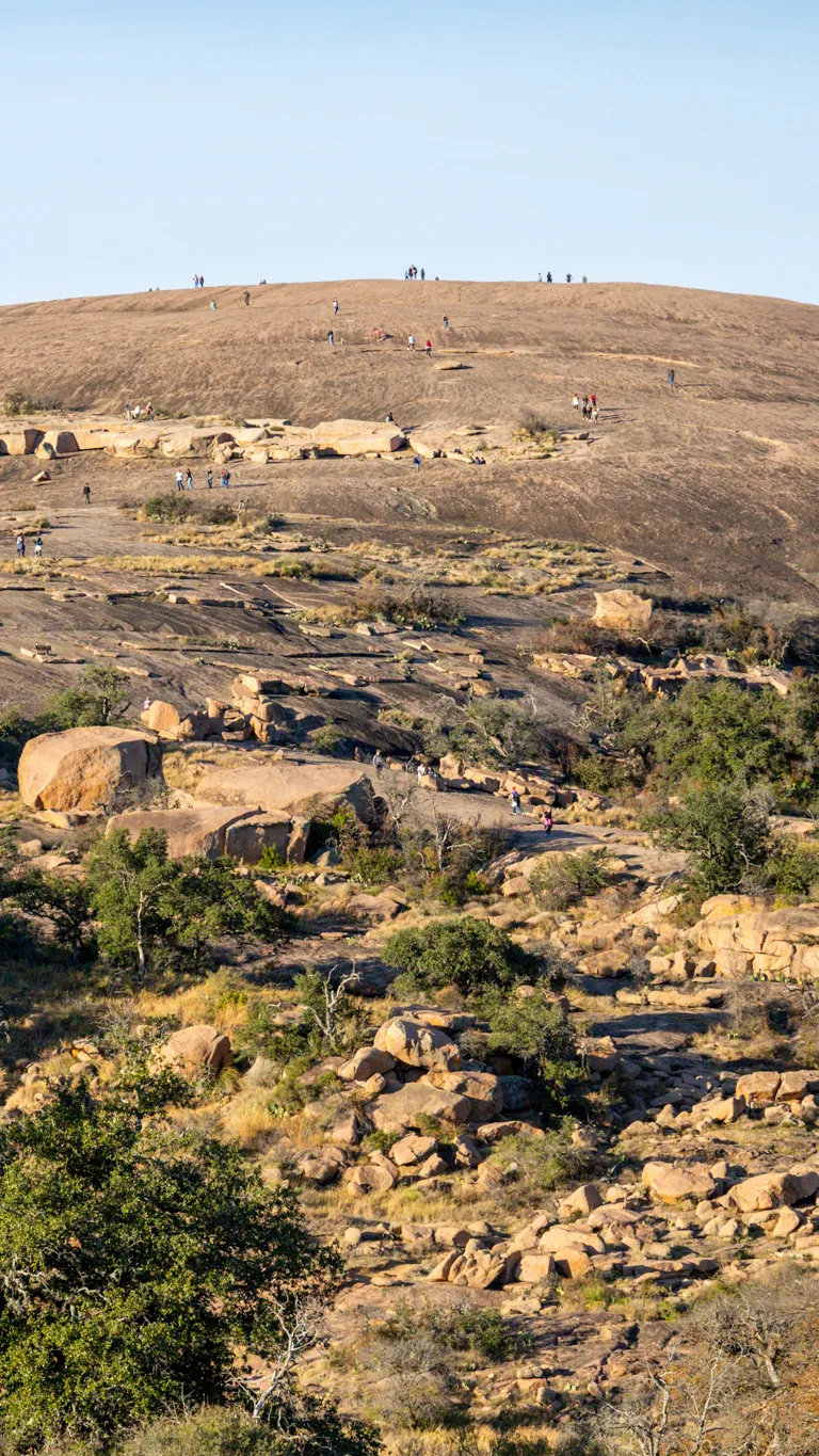
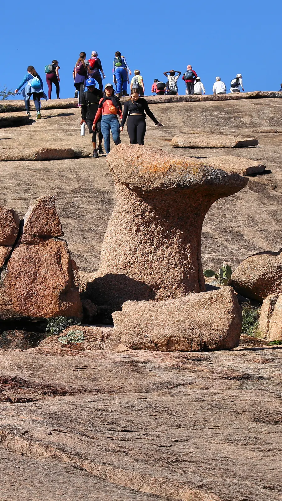
From the gazebo, the trail drops into a creek and then climbs the rocky lower slopes, according to SummitPost. Higher up it crosses open granite with little shade. TPWD lists about 45 minutes to the top.
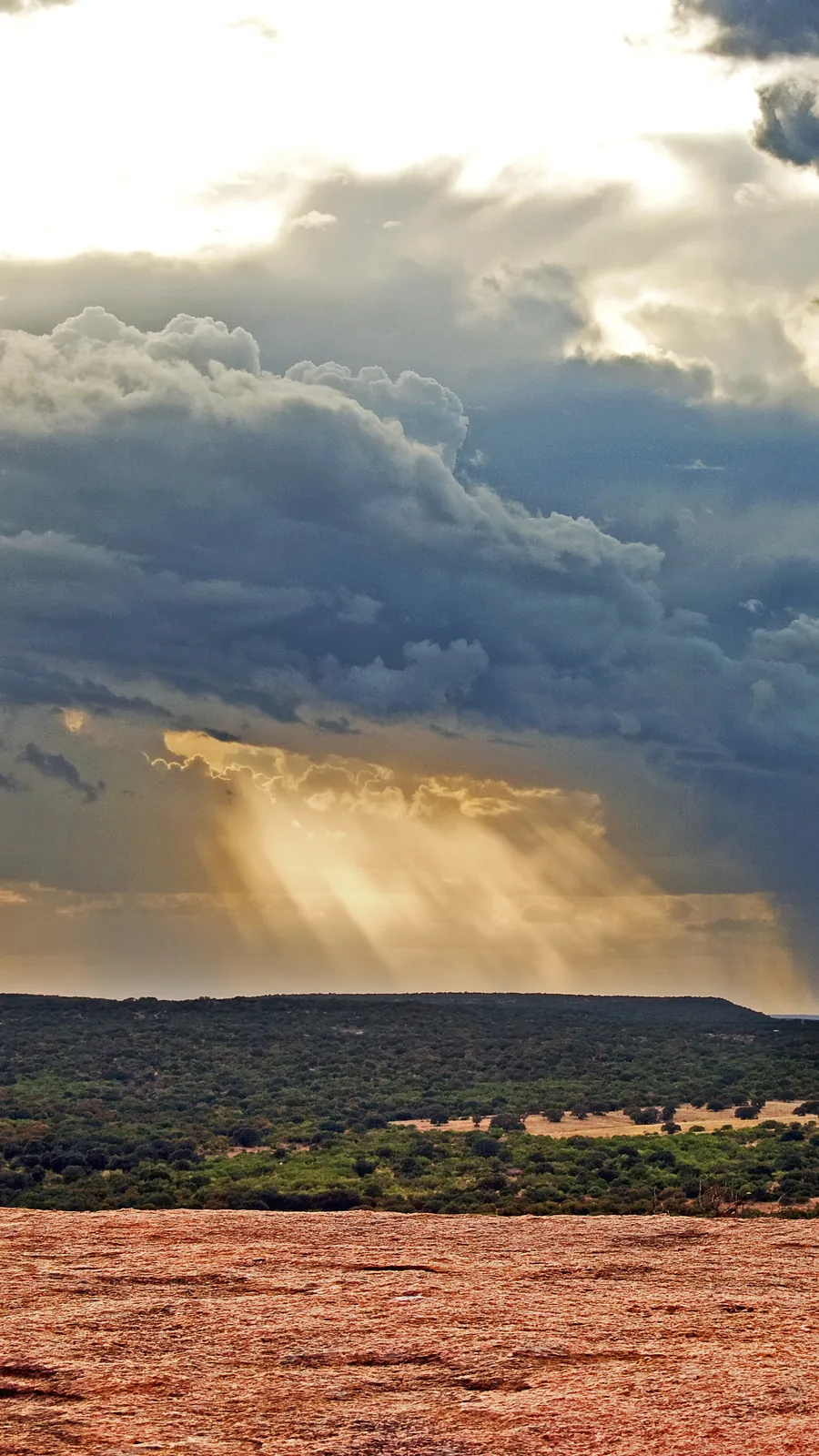
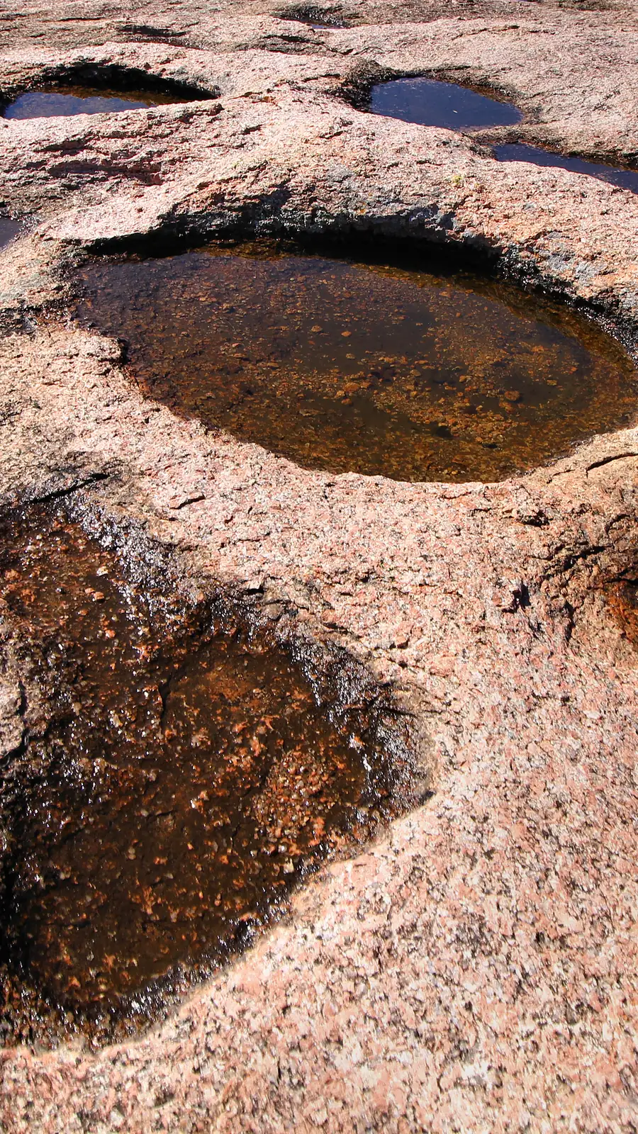
The summit sits at 1,823 feet, according to TPWD, with views across the park and the Hill Country. Look for the vernal pools on top, and stay out of them. TPWD asks visitors not to disturb them. Recent reviews mention wind on the summit, so bring a layer.
Come back down the same way. Wear shoes with good tread. TPWD lists it first on its own packing list for this hike.
The trail starts at 1,403 ft, tops out at 1,817 ft and ends at 1,817 ft at Enchanted Rock. The climbing is mostly on the way out: roughly 419 ft on the way out and 0 ft on the way back (USGS 3DEP elevations along the OpenStreetMap route).
Java Ranch, 114 E Main St in downtown Fredericksburg, serves coffee, breakfast and lunch, according to the Fredericksburg visitor bureau. Hours differ between listings, so call ahead at 830-990-4517.
Cool months are the season. TPWD lists September through May as busy, and the reservation requirement covers weekends, holidays and school breaks. Winter is not always mild. TPWD lists a January average low of 36 degrees.
Rain is the main wildcard. TPWD says the Summit Trail and other elevated trails may close after wet weather. In a closure on April 18, 2026, the park closed the elevated trails and kept the Loop Trail and Interpretive Loop open.
The whole park closes for scheduled hunts, with only permitted hunters allowed in. The TPWD alerts page lists Nov. 30 to Dec. 4 and Jan. 25 to 29 among this season’s windows. The reservation listing also warns of planned burns from October through March. Check the alerts page before you book.
Here’s the catch. Texas Parks and Wildlife requires a day pass on weekends, holidays and school breaks. Weekdays usually fill too. Your pass only works in the entry window you booked. And rain can close the summit after you’re inside. When it does, the Loop Trail has stayed open. Check the trail update page before you leave Fredericksburg. Not from the parking lot.
Check the TPWD Enchanted Rock trails update page before you leave Fredericksburg, not from the parking lot, where you may not get a signal. If rain has closed the elevated trails, the Loop Trail has stayed open in past closures. That’s a 4.6-mile walk around the base, according to TPWD, and dogs are allowed on it.
Check out more hiking posts here and don’t forget to follow Ride Hike Roam on Instagram and Facebook for real nature photography, no filters, no fluff. Hiked it? Tell us how the road was in the comments.