RIDE HIKE ROAM
HIKING · BIKING · TRAVEL, PLANNED ON PURPOSE
A blog for the more than average traveler, hiker, and mountain biker.
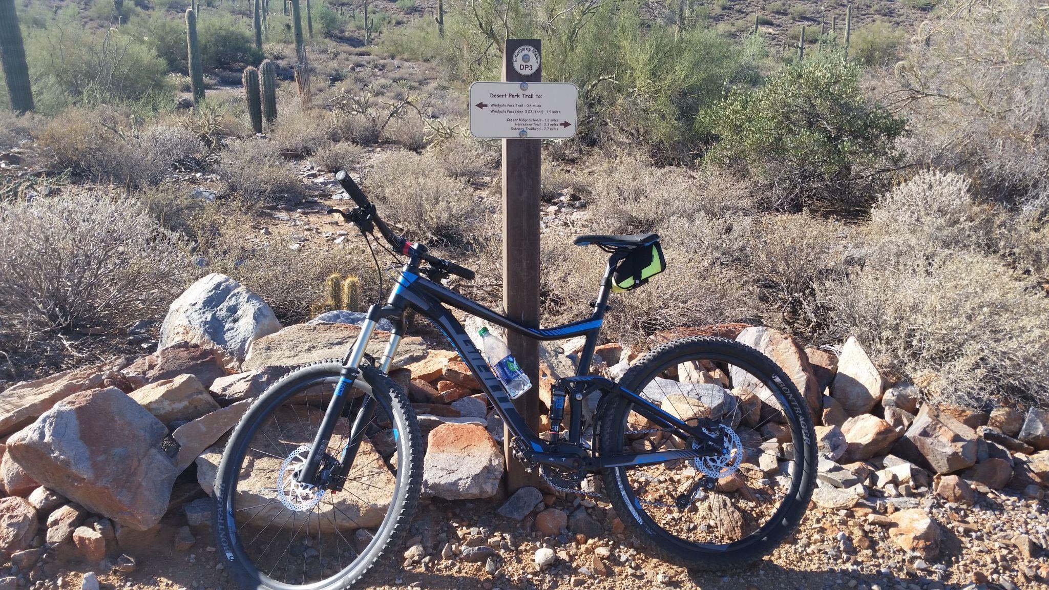
Just the Details:
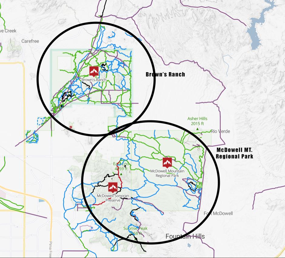
165+ miles of trails – according to trailforks.com (will vary depending on the site)
Several Trailheads:
Can connect to McDowell Mountain Regional Park via Gooseneck Trail
Below is a screenshot from trailforks.com to give you an idea of the size and amount of trails.
Types of Trails:
Brown’s Ranch – Tips
Good trails:

[…] Brown’s Ranch is the easy, shared-use option, and the best place in this guide to ride a bike. The Preserve’s northern trail system around Brown’s Ranch offers gentle, sandy singletrack suitable for hiking, mountain biking, and horseback riding, with loops in the 5 to 7 mile range and only a few hundred feet of gain. It is also the place to check before you go: recent reports noted the Brown’s Ranch Trailhead temporarily closed for improvements in 2026, with alternate Preserve trailheads open. Check the City of Scottsdale Preserve page for current trailhead status before you build a day around Brown’s Ranch. […]