RIDE HIKE ROAM
HIKING · BIKING · TRAVEL, PLANNED ON PURPOSE
A blog for the more than average traveler, hiker, and mountain biker.
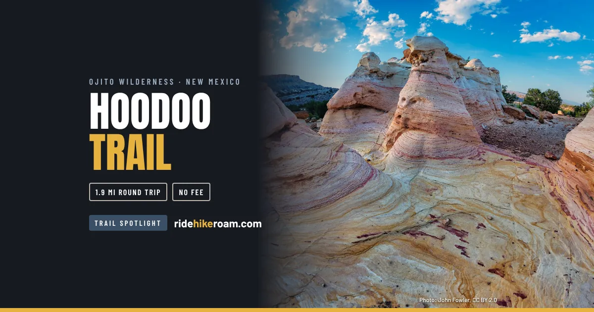
The Hoodoo Trail is a short walk. BLM lists it at about 2 miles round trip, past sandstone hoodoos to an overlook above the badlands. The part that takes planning is Cabezon Road, about eleven miles of unpaved road from US 550 to the parking area. Most questions about this trip are really questions about that road.
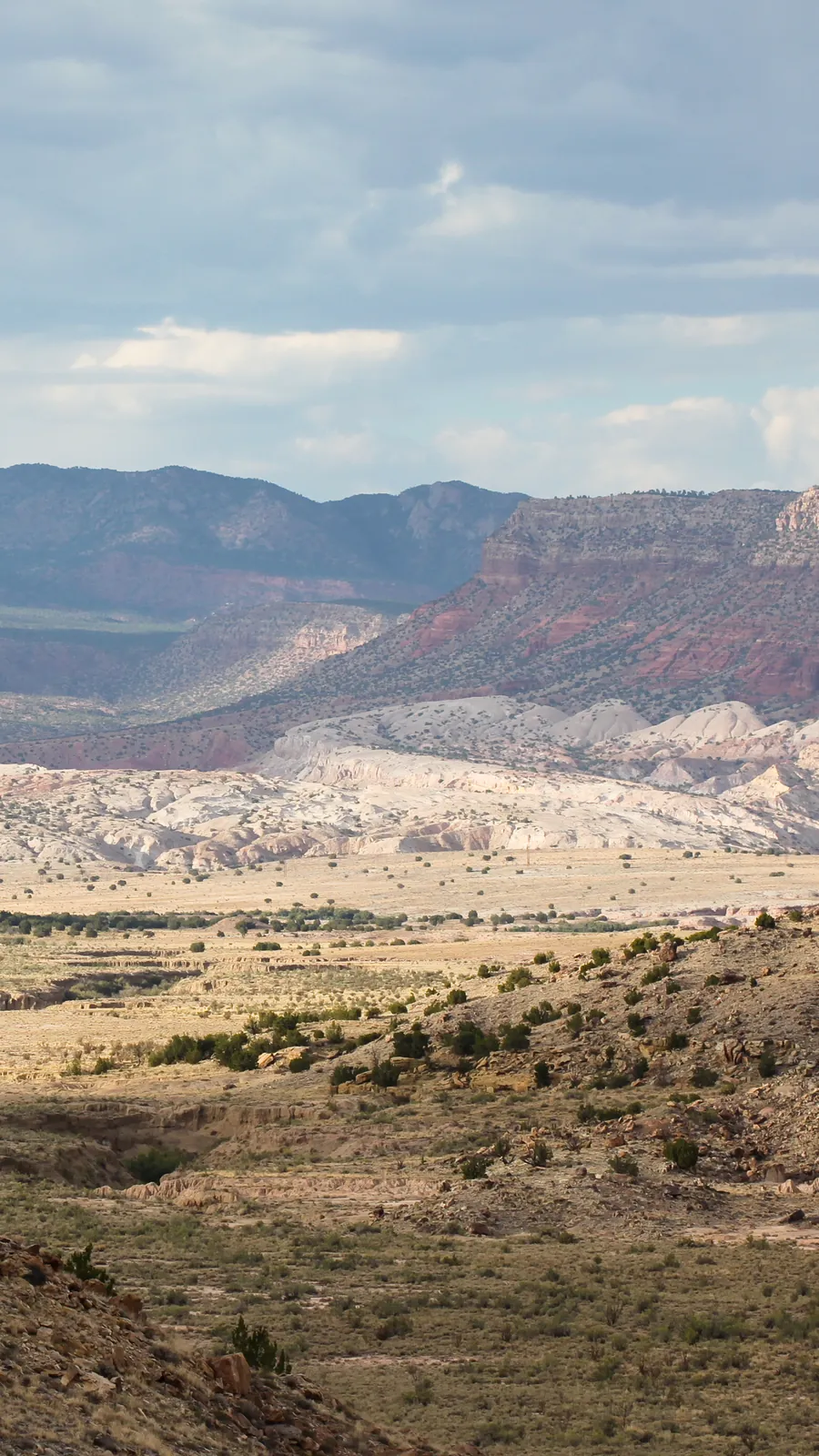
Ojito Wilderness. The Hoodoo Trail. The hike is about two miles. The road in is the problem.
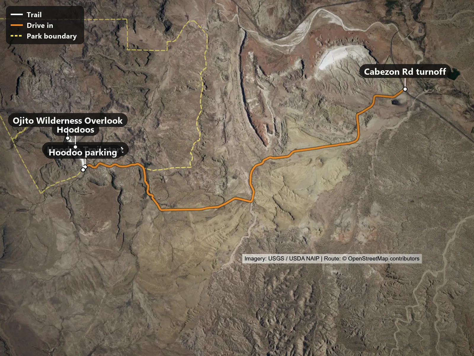
The drive in shown on the map runs 11.1 miles from Cabezon Rd turnoff to Hoodoo parking, on Cabezon Road (road names from OpenStreetMap).
Trailhead coordinates: 35.49530, -106.92136 (directions)
Things to know before you go:
Base yourself in Bernalillo, where the drive starts at the I-25 and US 550 junction. There are chain hotels at I-25 exit 242, so check availability before you drive up.
Check the weather for the last two days, not only the forecast. If it rained or snowed, call the BLM Rio Puerco Field Office at 505-761-8700 and ask about Cabezon Road to the Hoodoo parking. The office keeps weekday business hours, roughly 8 a.m. to 4:30 p.m. Mountain time, and is closed on weekends. If you are going on a Saturday or Sunday, call on Friday. Check the current hours when you call. Cell service on the road is limited, according to BLM, so download your maps before you leave town.
The Speedway at 401 W US 550 in Bernalillo is listed as open 24 hours. It is about 21 miles before the turnoff. The Speedway at 23238-A Highway 550 in San Ysidro is listed 5 a.m. to 11 p.m. It sits about two miles past the Cabezon turnoff, so you have to double back. There is no fuel, food or water on the dirt road. Recreation.gov says to bring all the water you need, so carry a reserve in the vehicle too. Hours differ between listings, so check before you count on either one.
There is no permit and no fee for day hiking, according to BLM. Permits are required for commercial guiding, filming and organized groups.
Plan the day around the drive. BLM lists the trail at about 2 miles round trip, and the dirt road in and out is the bigger block of time. Leave early enough to be back on pavement before dark. Winter days are short.
Target shooting is allowed year-round on public land in this area unless it is signed otherwise, according to BLM. The Albuquerque Journal notes sport shooters at pull-offs along the route. BLM says shooting across a road, trail or wash is not permitted. Expect noise on the drive.
Dogs are allowed on a leash, and BLM asks you to pack out waste. BLM lists drones as prohibited.
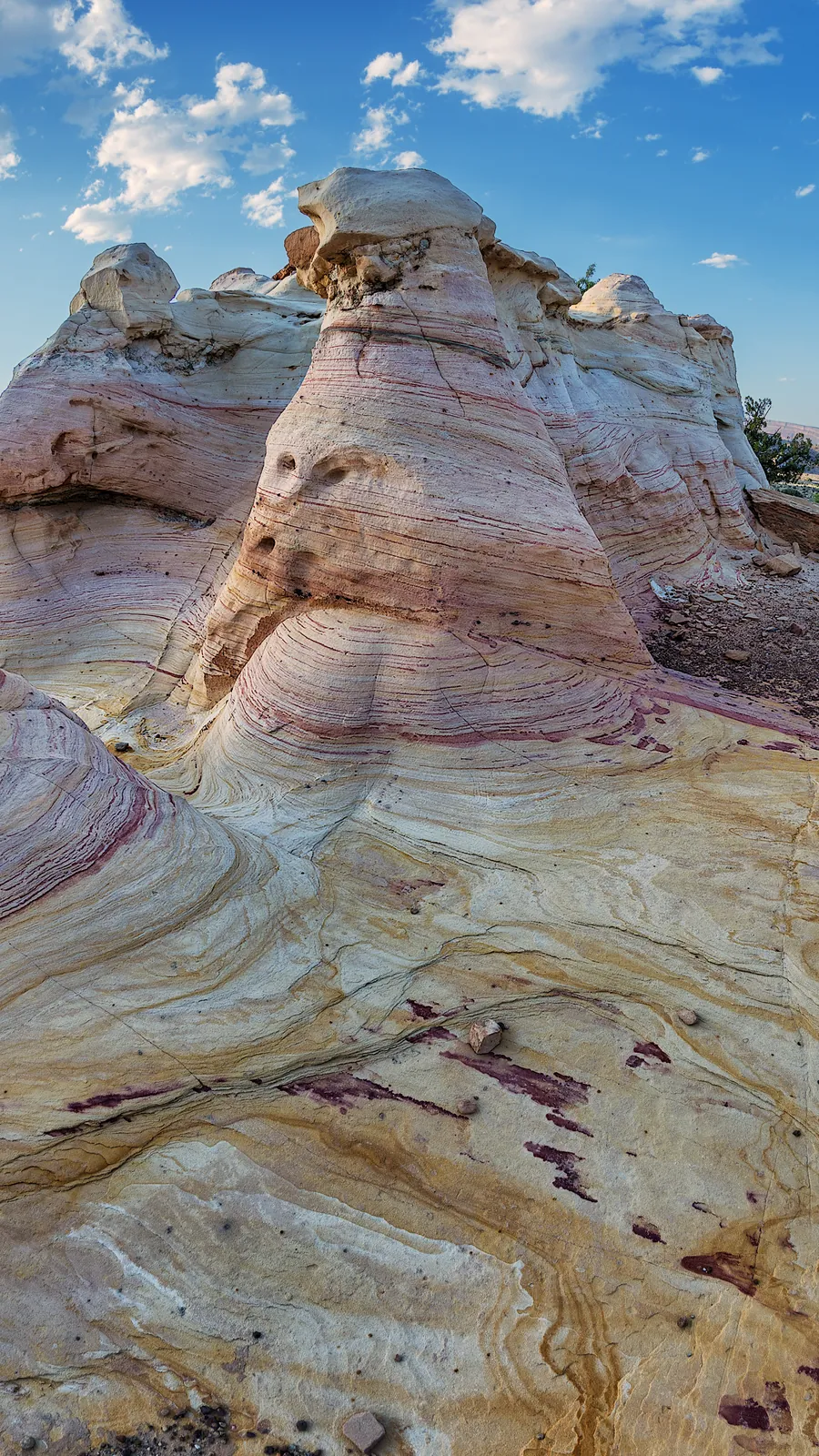
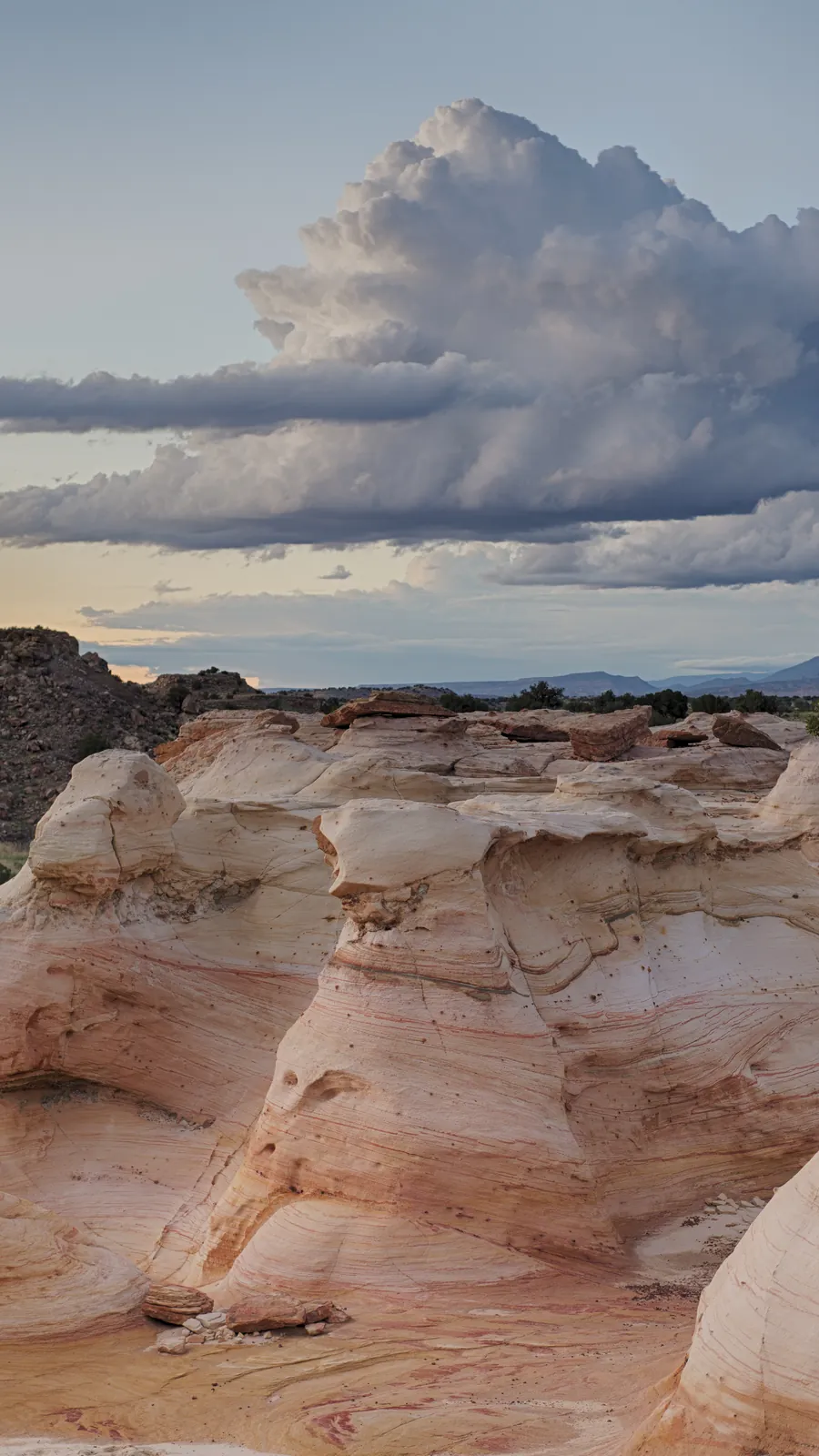
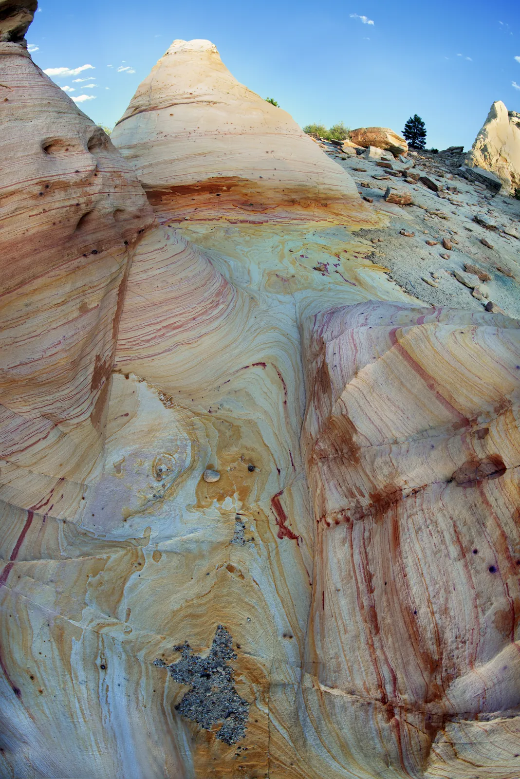
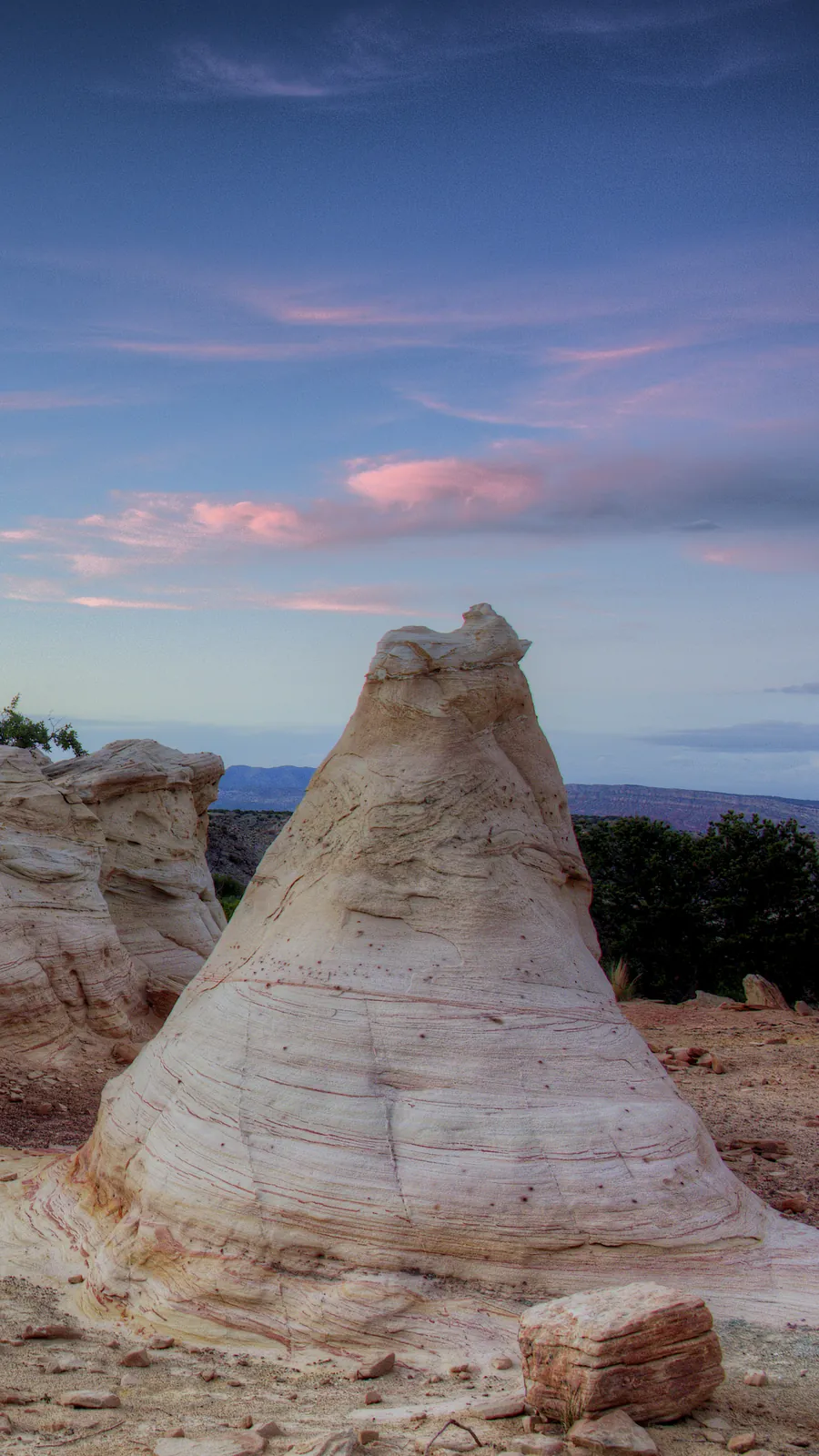
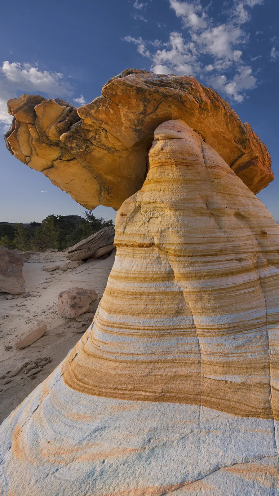
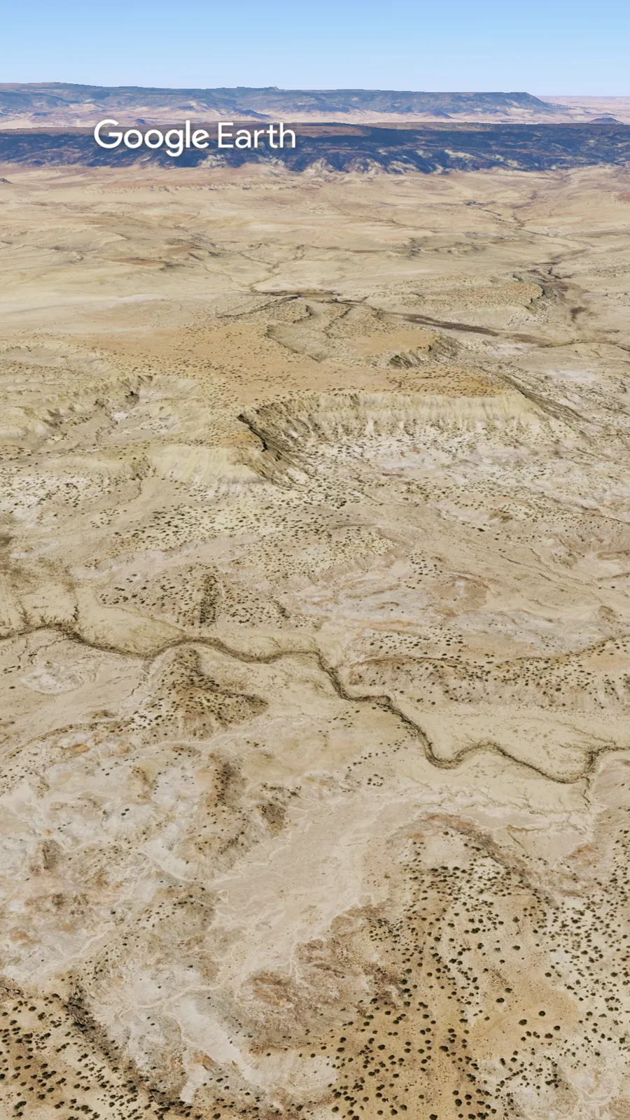
From US 550, Cabezon Road is about eleven miles of dirt. Then a short walk east, and the trail turns north. Sandstone hoodoos sit below the mesa, striped cream and pink. One short climb ends at an overlook above the badlands.
From the parking area, walk about 400 feet east along the road. The primitive trail heads north into the wilderness on the north side of the road, according to BLM. It passes hoodoos and other eroded formations and ends at a viewpoint over the badlands.
BLM describes the area as undeveloped, with no signs and no maintained trails. Side paths near the hoodoos can be confusing, so stay on the most worn line and turn around at the overlook. There is no water on the trail.
The distance is short and the climb is modest. The footing is primitive, uneven and unmarked.
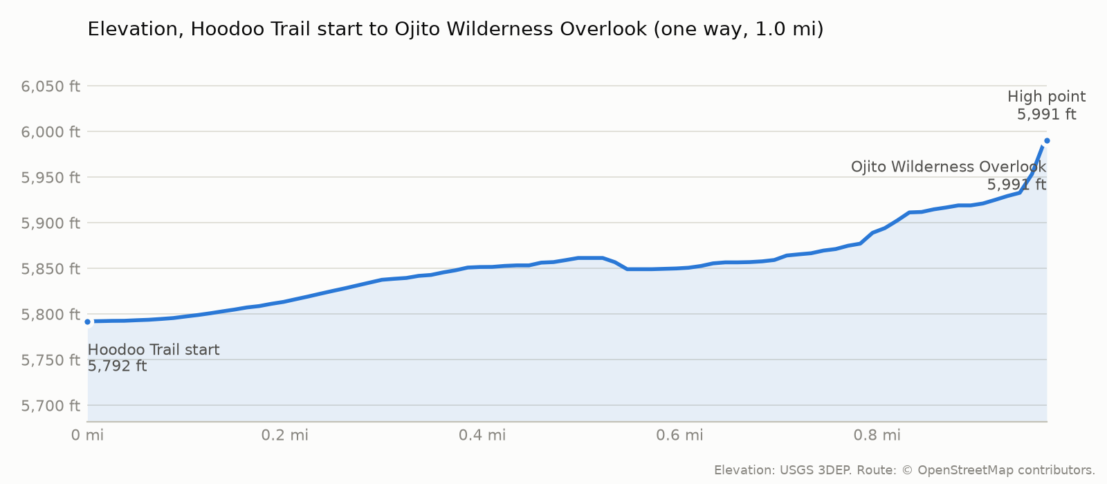
The trail starts at 5,792 ft, tops out at 5,991 ft and ends at 5,991 ft at Ojito Wilderness Overlook. The climbing is mostly on the way out: roughly 206 ft on the way out and 0 ft on the way back (USGS 3DEP elevations along the OpenStreetMap route).
Range Cafe, 925 S Camino del Pueblo in Bernalillo, has served the town since 1992, according to the restaurant’s website. The chain cut dinner at its Albuquerque locations over the summer, but the original Bernalillo location still serves dinner, according to KOB. Hours differ between listings, so call ahead at 505-867-1700.
BLM lists spring and fall as the best seasons. Dry weather matters more than the month. BLM says the roads turn slippery and rutted during wet periods in spring, late summer and winter. Summer gets hot, according to the BLM kiosk. BLM lists the primary hunting season on the surrounding public land as August to January, and April through May, so you may hear shooting or meet hunters. Seasons vary by species. The New Mexico Department of Game and Fish has the details.
Here’s the catch. BLM recommends high clearance and four-wheel drive. When it’s wet, that road turns slick and rutted. There’s no water or toilet, and cell service is spotty. Rained or snowed in the last two days? Call the BLM field office before you leave Bernalillo. Not from the turnoff.
If it has rained or snowed in the last two days, call the BLM field office before you leave Bernalillo. Not from the turnoff, where cell service is limited. The office keeps weekday hours, so on a weekend trip call Friday and check the forecast again.
Check out more hiking posts here and don’t forget to follow Ride Hike Roam on Instagram and Facebook for real nature photography, no filters, no fluff. Hiked it? Tell us how the road was in the comments.