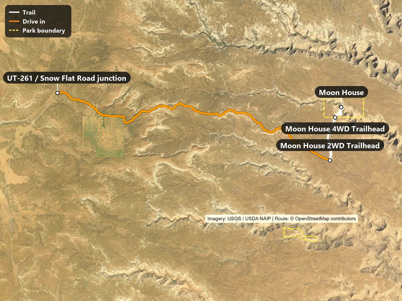
The real catch is the road. Snow Flat Road is unpaved, high clearance required, and rain can make it impassable. Park at the lower pullout and you walk over a mile more each way. The drive in shown on the map runs 9.4 miles from UT-261 / Snow Flat Road junction to Moon House 4WD Trailhead, on Snow Flat Road (road names from OpenStreetMap).
Permit: Moon House is limited to 20 visitors a day, year-round, with a maximum group size of 12. Reserve a day-use permit online at Recreation.gov and print a copy.
Permit price and fees: The Moon House permit costs $5 per person per trip, plus a non-refundable reservation fee shown at checkout. It replaces the usual Cedar Mesa day-hiking pass for this hike. The per-person fee is refundable for cancellations or smaller groups made at least 5 days before your entry date.
Kane Gulch Ranger Station: In-person check-in is encouraged for current conditions but not required. The Kane Gulch Ranger Station on Highway 261 is staffed seasonally, in spring and fall, currently Thursday through Sunday mornings. The BLM Monticello Field Office is open year-round. Hours change with staffing, so check the BLM Cedar Mesa permit page or call the permit desk at 435-587-1510 before you go.
Snow Flat Road: BLM says Snow Flat Road requires a high clearance vehicle and may become impassable when wet. Conditions change quickly, so check with the BLM Monticello Field Office or the Kane Gulch Ranger Station before you drive in.
Dogs: No dogs. Pets are not permitted in the Moon House Recreation Management Zone.
Camping: No camping in the Moon House Recreation Management Zone, including the trailhead area. Check the BLM Cedar Mesa page for camping rules elsewhere on the mesa.
Cell service: Do not count on cell service. BLM says much of the Bears Ears area has none. Download offline maps, tell someone your plan, and carry extra water.
🥾 The Trail
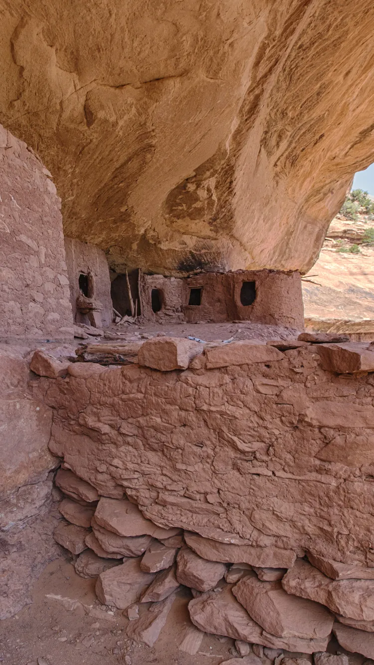
Moon House is an Ancestral Puebloan complex tucked into the wall of McLoyd Canyon. The hike is short: across open mesa, down steep slickrock, then a scramble into the alcove.
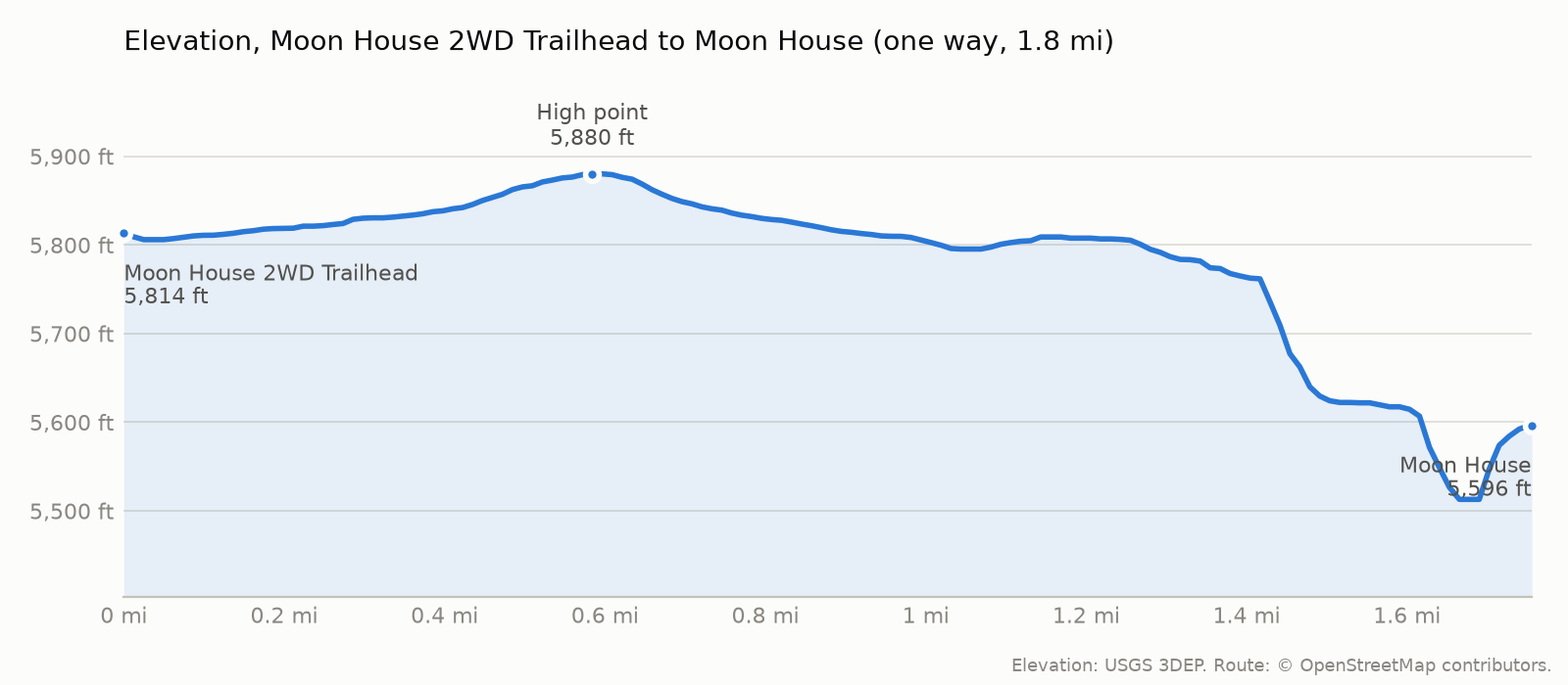
The trail starts at 5,814 ft, tops out at 5,880 ft and ends at 5,596 ft at Moon House. The climbing is mostly on the way back: roughly 141 ft on the way out and 376 ft on the way back (USGS 3DEP elevations along the OpenStreetMap route).
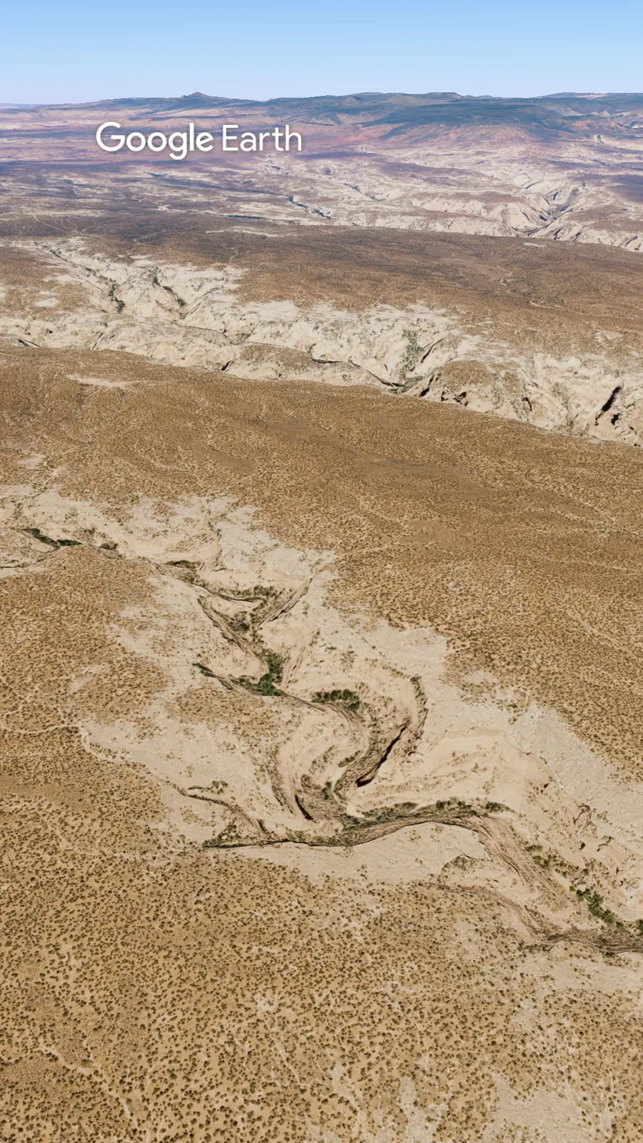
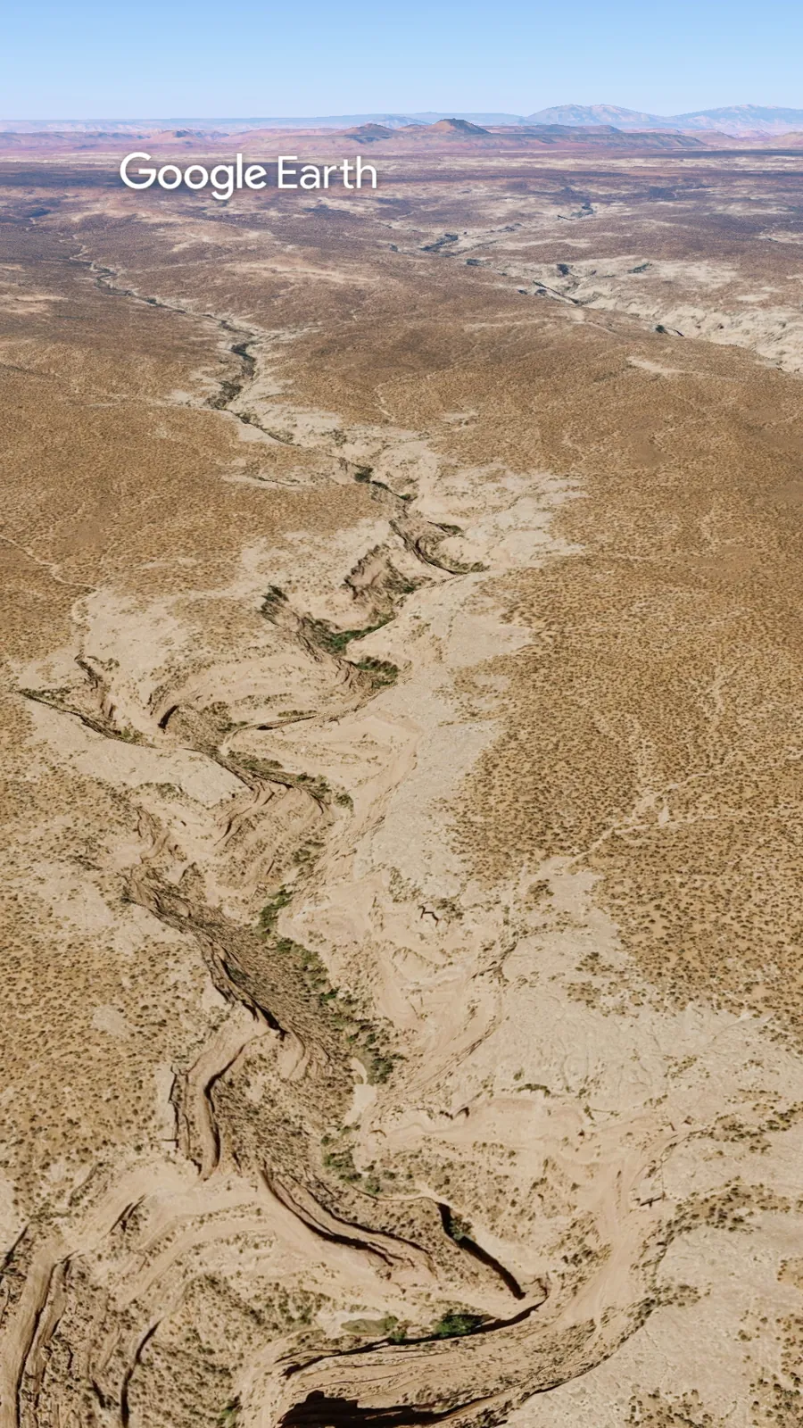
Google Earth (Airbus, Landsat / Copernicus, Data SIO, NOAA, U.S. Navy, NGA, GEBCO)Google Earth (Airbus, Landsat / Copernicus, Data SIO, NOAA, U.S. Navy, NGA, GEBCO)
🌤 When to Go
Best season: Spring (March to mid-June) and fall (September to October) are the best seasons, with mild temperatures and the most reliable roads. BLM lists average highs of about 68 F in spring and 77 F in fall on Cedar Mesa. The 20-visitor limit applies year-round.
Outside those seasons: Summer can be dangerously hot (BLM says temperatures in the area are often over 100 F), and monsoon storms from July into early September can turn dirt roads to mud and flood washes. Winter brings cold and snow, and many Bears Ears roads are impassable from late fall into early spring. Always check road conditions first.
💡 The Lowdown
Most people plan the permit and forget the road. Print your permit before you leave, and check road conditions with BLM first. Then leave the ruin exactly as you found it.
📜 Credits
Map imagery: USGS The National Map, NAIP imagery (USDA Farm Service Agency)
Route and places: OpenStreetMap contributors
Terrain: AWS Terrain Tiles (USGS 3DEP and others)
Flyover imagery: Google Earth (Airbus, Landsat / Copernicus, Data SIO, NOAA, U.S. Navy, NGA, GEBCO)
Check out more hiking posts here and don’t forget to follow Ride Hike Roam on Instagram and Facebook for real nature photography, no filters, no fluff. Hiked it? Tell us how the road was in the comments.