The Problem
You’re in a slot canyon. The walls are 300 feet high and close enough to touch on both sides. Your L1-only GPS unit says you’re 60 feet to the left of your actual position, which is geologically impossible given that 60 feet to the left is sandstone. The unit is not broken. It’s doing exactly what single-frequency receivers do when canyon walls start bouncing satellite signals around like a pinball machine.
This is multipath error — the condition where your GPS receiver picks up the same satellite signal twice, once direct and once reflected off a canyon wall, cliff face, or dense canopy. The receiver can’t tell the difference. It averages the inputs and puts you somewhere you’re not. On flat open ground with clear sky, an L1 receiver is fine. Accurate to 10–15 feet on a good day. In complex terrain (deep canyons, forest, slot systems) that error balloons. Fifty feet is common. In bad conditions, worse.
The Garmin GPSMAP 67 is a dedicated handheld GPS at $499.99 that runs L1+L5 dual-frequency GNSS. The L5 band is newer, designed specifically for high-accuracy applications, more resilient against interference, and when combined with L1, allows the receiver to calculate and correct for ionospheric delay — the atmospheric distortion that further degrades single-frequency accuracy. Two frequencies mean the unit can identify reflected signals as reflected, discard the noise, and give you a position that reflects where you actually are.
That’s the specific problem. That’s the specific fix.
Field Notes
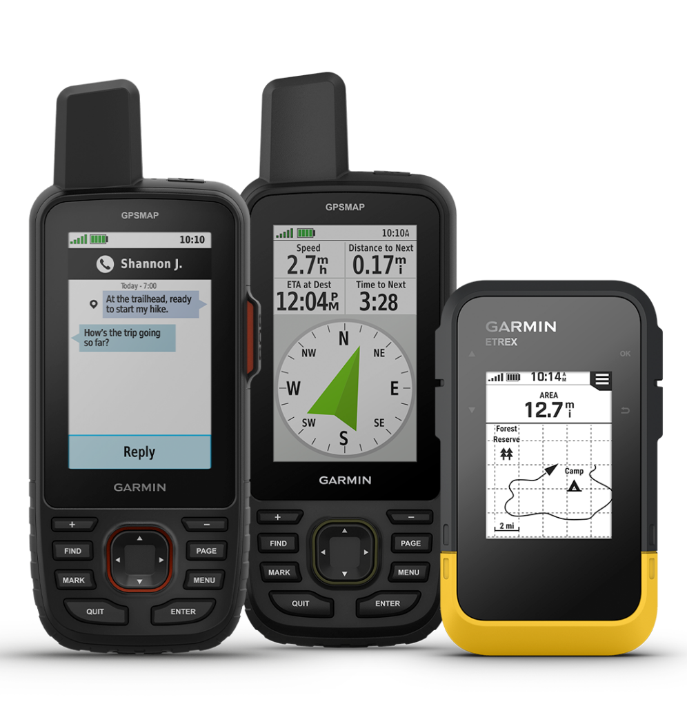
8.1 oz with batteries. The GPSMAP 67 is not small. It’s 6.4 inches tall, 2.4 wide, and 1.4 deep. You know you’re carrying it. If that’s a dealbreaker, the inReach Mini 2 at $399.99 also runs L1+L5 and weighs significantly less, but its 0.9-inch monochrome display is not a navigation screen — it’s a communication screen. Different tool.
The display is a 3-inch diagonal transflective TFT at 240×400 pixels. Transflective means it uses ambient light to stay readable in direct sun rather than fighting it with backlight. In a bright canyon at noon, it works well. In a dim forest at dusk, you’ll hit the backlight. Battery life drops accordingly, which leads to the one legitimate criticism worth flagging.

Battery life. Garmin advertises 180 hours in standard GPS mode and 840 hours in expedition mode. Expedition mode reduces position polling frequency to extend life — useful for track logging over multi-day routes, less useful when you need real-time position in technical terrain. Real-world multi-band mode with active screen use is meaningfully shorter than the headline number. Users upgrading from older AA-battery units report this as a jarring adjustment. The battery is internal and non-user-replaceable, which on a five-day canyon route with no resupply means your power bank becomes load-bearing gear. Plan accordingly. I didn’t the first time. It was fine, but only because I had one.
Accuracy improvement in practice. OutdoorGearLab rated accuracy at 9/10 with specific notes on tight track consistency in steep canyons and dense canopy versus single-band units that “wander significantly.” Academic work on dual-frequency GNSS performance in multipath environments consistently shows sub-2-meter accuracy where single-frequency receivers produce 5–10 meter errors or more. The 50-foot drift problem that L1-only units exhibit in canyon conditions drops to something closer to 3–6 feet in comparable tests with L1+L5 receivers. That’s not marginal. That’s the difference between the correct drainage and the wrong one.
Map rendering is sluggish. Panning and zooming on detailed TOPO maps lags noticeably. Not a field safety issue, but it’s friction you’ll notice every time you use it.
The UI has a learning curve if you’re coming from a smartphone navigation app. Physical buttons, nested menus, Garmin’s standard interface logic. It takes a few sessions to feel natural. Worth the investment for the durability and reliability gains, but don’t expect to unbox it the night before a technical route and be fluent by morning.
What the GPSMAP 67 doesn’t have is inReach satellite communication. The GPSMAP 66i, its predecessor at roughly $599.99 depending on where you find it, has inReach but runs single-band L1-only GNSS. If you’re in true backcountry and you need two-way satellite messaging and SOS capability, the 67 requires a separate device. The 66i gives you the communicator but gives up the accuracy. That’s a real tradeoff and the right choice depends entirely on your risk profile and terrain.
IPX7 waterproofing – submersible to 1 meter for 30 minutes. Adequate for rain and creek crossings. Not a dive instrument.
Operating range: -4°F to 122°F (-20°C to 50°C). Charging only works down to 32°F (0°C). If you’re winter camping and need to charge from a power bank, keep both in your sleeping bag.
The Verdict
Buy it if: You do serious navigation in terrain where line-of-sight to satellites is limited — canyons, heavy forest, mountain terrain with steep walls — and you’re tired of position drift telling you lies. You want a dedicated device with physical buttons, long battery life relative to a smartphone, 16GB of onboard map storage, and a display that works in direct sunlight. You’re willing to carry a separate communicator if you need satellite messaging.
Skip it if: Your navigation happens primarily in open terrain where L1-only accuracy is sufficient and you’re not spending $500 to solve a problem you don’t have. Or if inReach communication is non-negotiable and you can’t carry a second device — in that case, look hard at whether the 66i’s accuracy limitations actually affect your specific use case before committing.
Don’t buy it as a smartphone replacement on the cheap. Current flagship smartphones — iPhone 15 Pro, Samsung Galaxy S24 Ultra — also run L1+L5 GNSS. Their accuracy in controlled conditions is comparable. But battery drain under continuous GPS load and screen use on a multi-day backcountry trip is a different problem entirely, and they are not built for the physical punishment of technical terrain use. They’re a supplement. The GPSMAP 67 is a primary instrument.
At $499.99 (and up, but can also find renewed/refurbished ones ) it’s expensive. It’s worth it for the use case it solves. It’s not worth it for any other use case.
Sources / Specs
| Spec | Detail |
| Weight | 8.1 oz (230g) with batteries |
| Dimensions | 2.4″ x 6.4″ x 1.4″ |
| Display | 3″ transflective TFT, 240x400px, 65K color |
| Battery Life | 180 hrs standard GPS / 840 hrs expedition |
| Operating Temp | -4°F to 122°F (-20°C to 50°C) |
| Waterproofing | IPX7 (1m / 30 min) |
| GNSS | L1+L5 multi-band: GPS, GLONASS, Galileo, QZSS, IRNSS |
| Storage | 16GB internal |
| Connectivity | Bluetooth, ANT+, Wi-Fi, USB-C |
| Price | $499.99 USD |
| Warranty | 1-year limited |
Sources:
- Garmin GPSMAP 67 Official Specs: garmin.com/en-US/p/854580
- OutdoorGearLab GPSMAP 67 Review: outdoorgearlab.com — Accuracy rated 9/10
- Switchback Travel GPSMAP 67 Review: switchbacktravel.com
- Garmin GPSMAP 66i: garmin.com/en-US/p/623975Garmin inReach Mini 2: garmin.com/en-US/p/781577
- Dual-frequency GNSS accuracy in multipath environments: U-Blox and Trimble industry white papers; peer-reviewed literature on L1+L5 performance in obstructed environments consistently demonstrates 50%+ error reduction versus single-frequency receivers in canyon and urban canyon conditions
Related
The 2026 Solar Efficiency Protocol: Defeating the Shade Trap, Best Portable Solar Generators 2026: EcoFlow vs. Jackery vs. Bluetti, FIELD ALERT: Starlink Mini in Cold-Weather Operations